Last January, a Sacramento Bee opinion writer described a walk she takes two or three times a week with her dog, Juno. She starts at Sutter's Landing and follows the gravel path east along the American River. She passes under the Union Pacific railroad bridge, built in 1940, then under the Capital City Freeway bridge, which is more than 70 years old. On the far side, she wrote, "the long ramp of the new trail connector comes easily into view."
At the time, she wrote, the overall project was still nearing completion. On Oct. 7, Caltrans, local officials and a group of cyclists met at Cal Expo to celebrate the finished $288 million American River Bridge Rehabilitation Project. Along with a new deck and reinforced piers, the bridge now has a Class I bicycle path, which Caltrans calls "a dedicated bicycle connection across the American River."
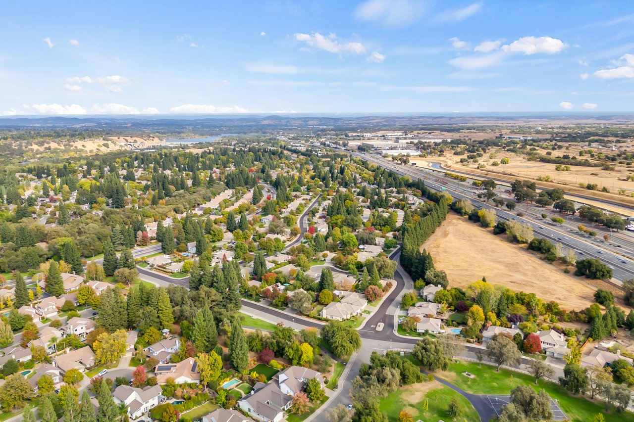
For East Sacramento, this changes what Sutter's Landing is good for. For years it was the neighborhood's closest way down to the river, but the walk east ended under a freeway. Now that same path climbs onto the bridge and comes down on the north bank, where the American River Bike Trail runs. Your nearest river entrance now leads to both banks.
Finding the ramp from 28th Street
Sutter's Landing Regional Park is at 20 28th St. The City lists parking lots, restrooms and a three-quarter-mile rubberized multi-use trail inside the park. The route to the bridge is short, and two local sources describe it the same way.
- Enter at 28th Street and head north toward the water. In its July newsletter, the Sacramento Area Bicycle Advocates told riders coming from downtown and Midtown to start here and "ride right along the river to the bridge," about one mile.
- Follow the river east. In the Bee's account, the gravel path passes under the Union Pacific railroad bridge after about a mile.
- Go a few hundred feet more, under the freeway. The ramp up to the bridge path is on your left once you come out the other side.
- Cross and come down on the north bank. SABA's directions say to go "up and over the bridge and drop off on the other side."
If you bring a dog, the City's dog park rules allow off-leash dogs at Sutter's Landing only inside the fenced 2.5-acre dog park, which has separate areas for large and small dogs. Plan on a leash for the walk out to the ramp.
What the bridge itself changed
Before construction, the Parkway trail ran under the bridge, parallel to it, without ever crossing the river. Caltrans' 2020 environmental document put the new path on the northbound side of the bridge. It also moved the existing trail underneath about 40 feet west to make room for the work.
That same document planned a 14-foot-wide path separated from freeway traffic by a concrete barrier, with lighting. The completion coverage supports the main points. KCRA reported the path has safety barriers and connects to the existing American River trail system. ABC10 listed new lighting, upgraded bridge rails, new signage and striping, and wider shoulders. It also noted that construction began in 2023.
So you're on your own lane above the river, with a wall between you and the cars. "The bridge is safer, ride quality is improved, and it provides new access for bicyclists and pedestrians," Caltrans District 3 Director Sergio Aceves said in the department's completion release. KCRA quoted him calling it "a game changer for Sacramento."
The Bee writer also described the view from the connector, with the river below, the new highway bridge, Cal Expo to the north and East Sacramento's homes to the south.
A loop instead of an out-and-back
The biggest change for a regular walk or ride is the shape of the route. Without a crossing near Sutter's Landing, a trip east along the south bank was an out-and-back. Getting to the north bank meant going east to the Guy West Bridge at Sacramento State first.
SABA's directions to the bridge give the distances that now matter, measured from three starting points.
| Starting point | Route to the Capital City Freeway bridge | Approximate distance |
|---|---|---|
| Sutter's Landing, 28th Street | North to the river, then east along the bank | About 1 mile |
| Sacramento State | Cross the Guy West Bridge, turn left on the north side, follow the American River Bike Trail | About 4 miles |
| Discovery Park | East on the bike trail to a paved spur that runs under the bridge | About 5 miles |
Put those together and you get a loop that starts and ends in East Sacramento. Leave Sutter's Landing, cross on the freeway bridge, and ride east on the north bank for about four miles to the Guy West Bridge. Cross back at Sacramento State and return west along the south side. The Bee's walker pointed out that going east from the ramp on the south side leads to Glenn Hall Park and then the Sac State campus, so that leg ties into ground many East Sac residents already know.
Riders headed west toward Discovery Park get the same advantage in the other direction. Once you're over the bridge, the north-bank trail can take you there without a detour.
A note on timing. In July, SABA announced a ribbon cutting for Aug. 17. The ceremony covered by KCRA and Caltrans took place on Oct. 7. If you've seen both dates, Oct. 7 is the one tied to the finished project.
The pieces still missing around Sutter's Landing
The bridge is finished, but the trail network leading to it from the neighborhood is not. The City's park page lists "Future Two Rivers Trail path connections" among Sutter's Landing's features.
The City has already built a south-bank Two Rivers Trail segment, Phase II, between the H Street Bridge and a point just east of Sutter's Landing and Business 80. The next phase is meant to close the gaps on either side. The City's Two Rivers Trail project page describes Phase III this way:
- Connecting Phase II to the eastern end of the Sutter's Landing trail
- Adding a segment from 28th Street to the landfill loop
- Linking the Sacramento Northern Trail to Two Rivers Phase I
The City's schedule shows final design running from spring 2026 to spring 2027 and construction in summer 2027, contingent on funding.
A second City project would build a formal accessible trail down to the river at Sutter's Landing, plus a launch for non-motorized boats. The City says construction funding for it hasn't been identified yet.
So this fall, the freeway bridge is the most finished part of the route from 28th Street to the north bank.
If you're working out how the river trails fit into daily life in East Sacramento, or how this neighborhood's river access compares with places like Fair Oaks or Gold River, I'm happy to walk through it with you. Allison R Billings knows these riverbanks well and would love to hear what you're looking for. Let's Talk Your Goals.